The GeoActivity Suite
GeoActivity is D'GIS Group's flagship product ecosystem — a connected set of web platforms and mobile applications built specifically for energy-sector professionals operating across Western Canada and the United States. Every product in the suite is powered by the same proprietary data infrastructure: real-time rig activity, well licensing, spud reports, and field intelligence spanning Alberta, British Columbia, Saskatchewan, Manitoba, and over a dozen US states. Whether you're an analyst running basin-wide queries from the office or a field hand navigating to a wellsite in the dark, GeoActivity has a tool built for that exact moment.
GeoActivity Mobile Apps
Our most recognized products — three purpose-built mobile applications used daily by field professionals across North America. Available on the App Store and Google Play.
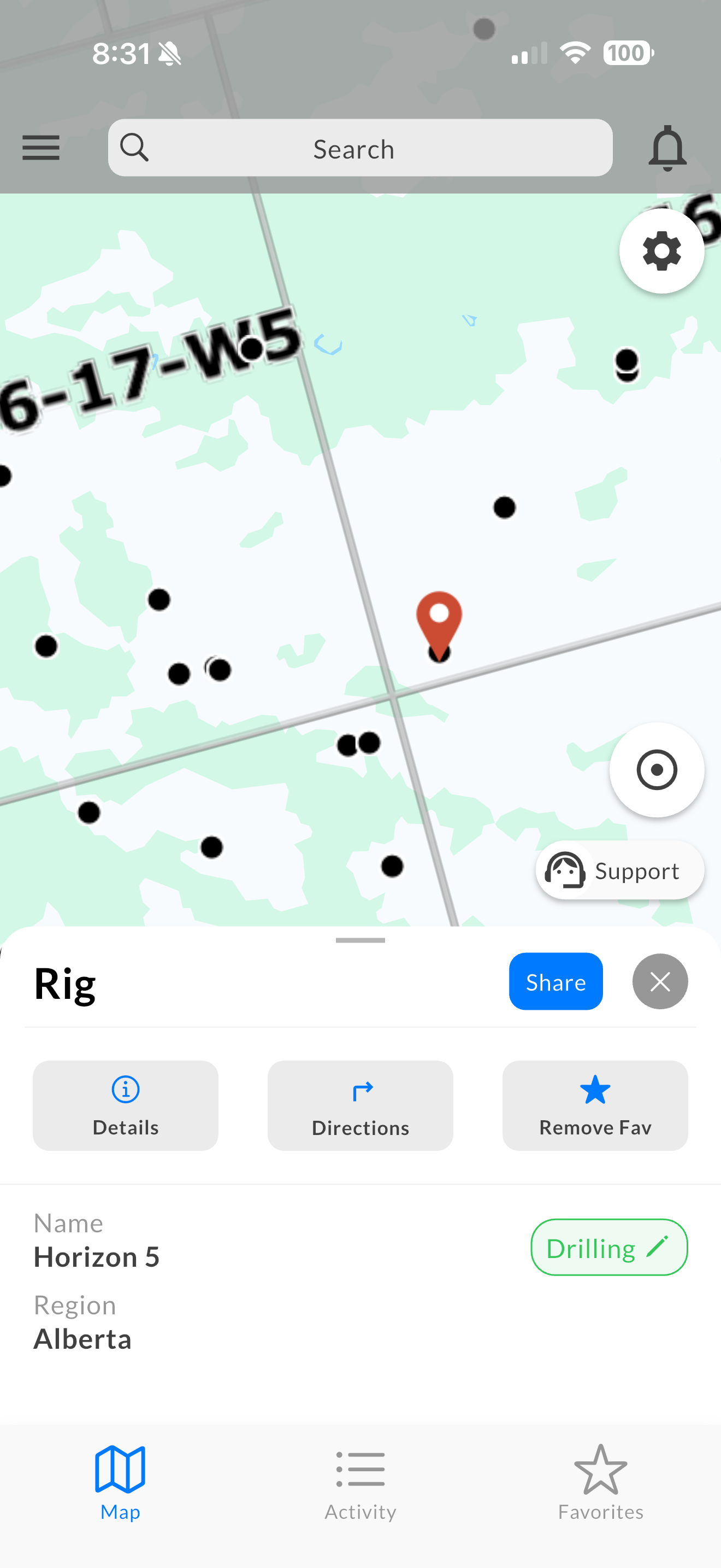
Rig Finder
The app that started it all. Rig Finder gives drilling contractors and field operators real-time access to active rig locations across Western Canada and North Dakota — with turn-by-turn navigation, live rig status, instant notifications when a favorited rig spuds, and nearby permit and license data. Built for the people who need to know where the work is before anyone else does.
- Live rig location tracking
- Drilling contractor details
- Operator and spud data
- Nearby Wells and Permits
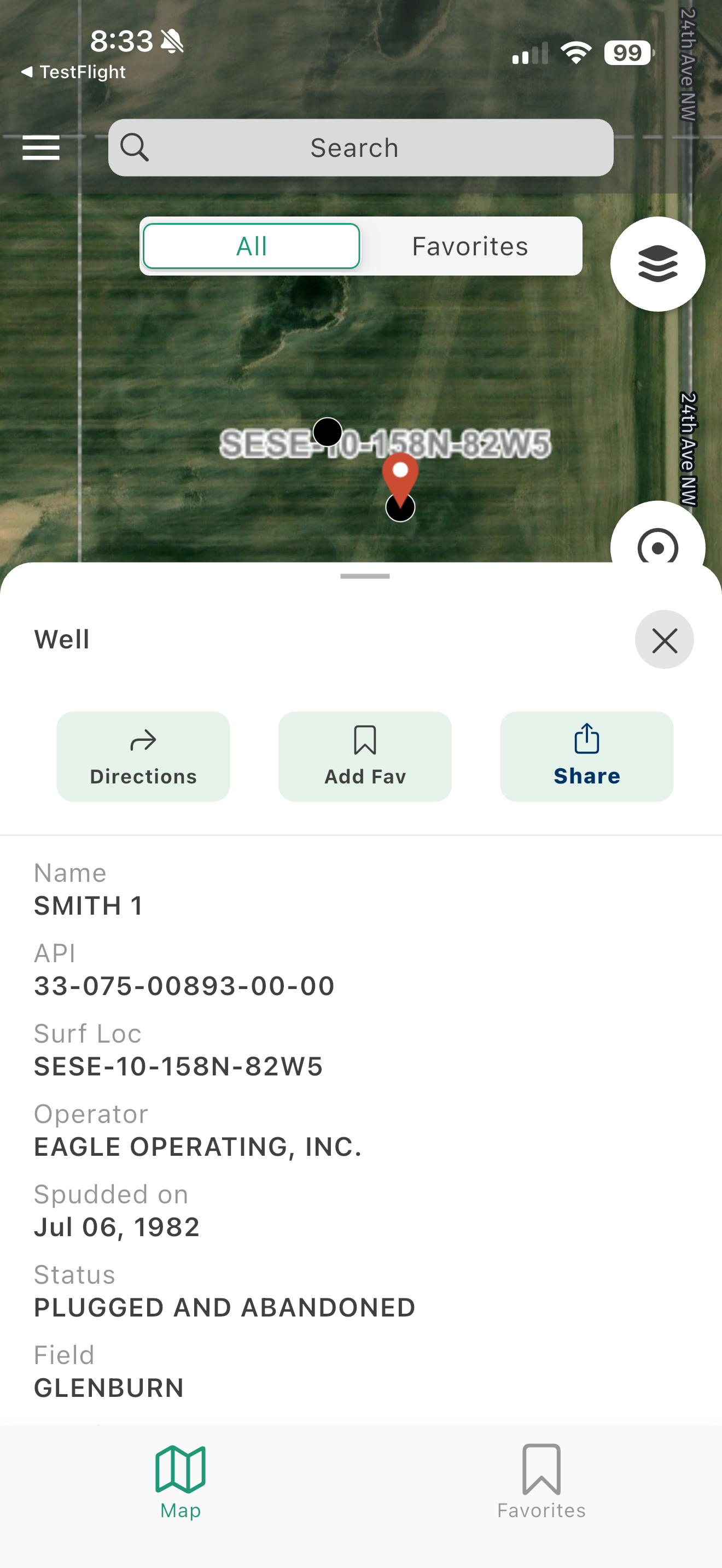
Well Finder
The broadest well intelligence tool in the field. Well Finder covers Canada and 13+ US states, allowing users to locate any well or land lease by UWI, API, LSD, NTS, or PLSS. Turn-by-turn navigation, pinned location groups, and team sharing make it the go-to tool for operators and service companies working across multiple oilfields.
- Well search by UWI or name
- Surface location coordinates
- Regulatory attribute data
- Navigate to wellsite
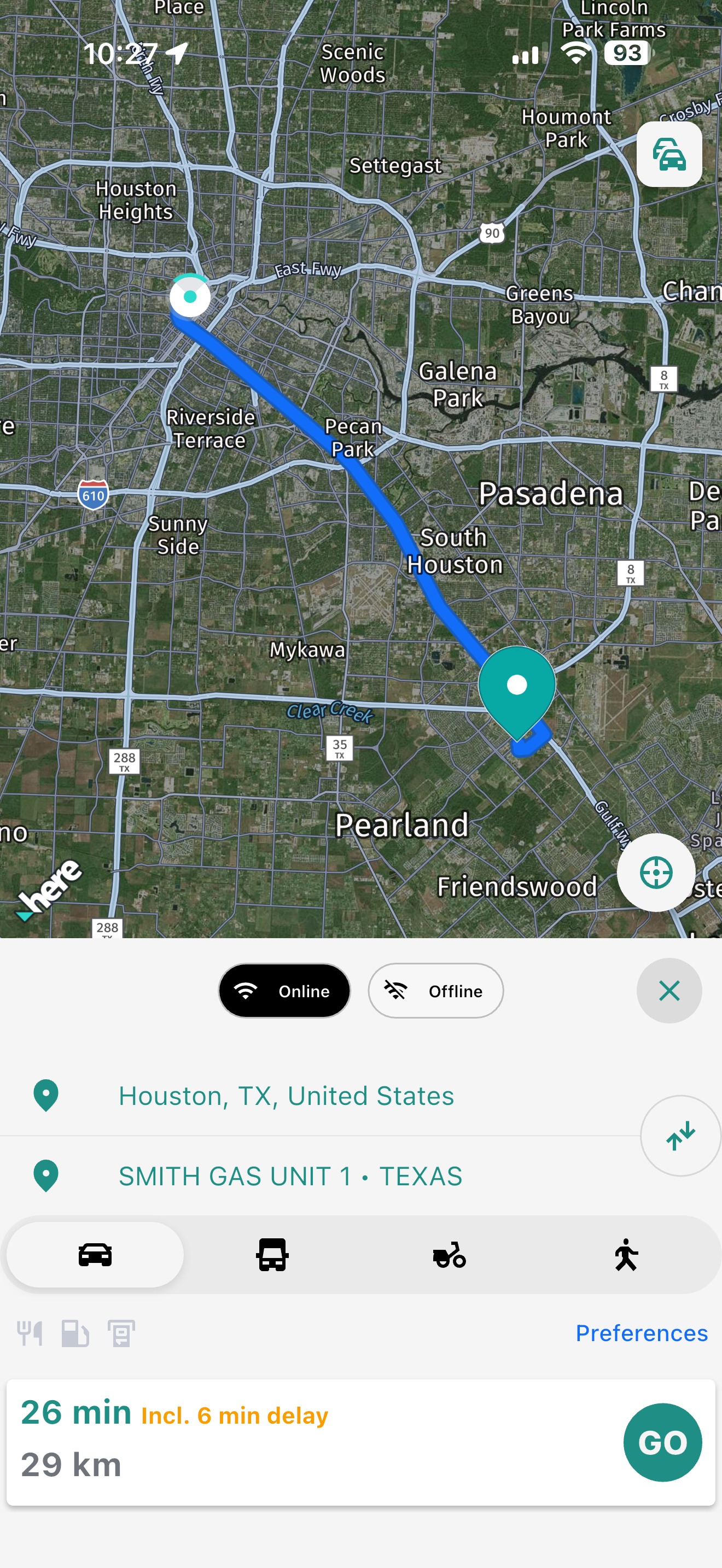
OilField Route — Newest
Our most advanced field navigation product to date. Oilfield Route is purpose-built for planning and executing multi-stop routes across oilfield terrain — optimized for remote roads, lease access, and operational realities that standard navigation apps aren't designed to handle. Released in early 2026, it represents the next evolution of field mobility technology from D'GIS Group.
- Lease road routing
- Offline turn-by-turn directions
- Heavy equipment friendly
- Navigate without a cell signal
GeoActivity on the Web
Access GeoActivity intelligence from any browser. No installation required.
GeoActivity Rig Finder
Track real-time rig activity and locate active rigs across North America.
GeoActivity Maps
A powerful browser-based mapping platform for well license and spud activity across Western Canada. GeoActivity Maps combines deep filtering by operator, drilling contractor, projected depth, well profile, and substance with custom area-of-interest tools, PSAC region overlays, and one-click data export.
GeoActivity Feeds
Real-time data intelligence delivered directly to the teams that need it. GeoActivity Feeds surfaces upstream activity as it happens — keeping operators, contractors, and business development teams ahead of the curve on licensing, drilling, and field activity across their areas of interest.
Five products. One platform. Built for the people who keep North American energy moving.